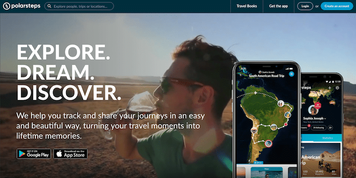
Do you like to map or track your travels for yourself or for your friends and family?
Polarsteps automatically tracks your routes and places you’ve visited while you’re traveling and creates from them a beautiful travel journal. It’s free in both the Apple Store and Google Play. To use Polarsteps, all you have to do is carry your phone in your pocket as you go. It works offline, too, so if you lose connection, you can simply keep traveling without a thought. Once you’re connected to the internet again, your travel routes, locations and photos are transferred to your traveler profile. Then, your route is turned into a colorful world map.
Once it’s been started, your map can be easily be shared with friends and family. Once you’re home, you have a play-by-play, with photos, of your journey in one place. You can even pay Polarsteps to turn your journey and photos into a travel book. Stats like dates, miles/kms traveled, temperatures, and more are included. And if you’re not the person traveling, Polarsteps allows you to ride along with your family and friends who are traveling from afar.
Polarsteps has received high praise from National Geographic, which wrote that it “replaces your travel journal, making it easier and more beautiful.” It’s also highly rated, with a 4.8 in the Apple Store and a 4.7 in Google Play (both scores are out of five).
Have you tried Polarsteps?
Have you used the app? If so, what do you think of it? Share your thoughts in the comments below!


Just downloaded it. My next trip is to Australia and New Zealand this April. Will try it then.
Been using it for a while. Spent 3.5 months in Central America with 10 days in Cuba, where I had the tracking on high accuracy (which synced for my friends and family once connected to a wifi spot) – was really cool to see every place we visited and the route we took.